Mayali Pass
Together in mountains make moments but thrill along with the chill make memories and this memory will always be close to my heart.
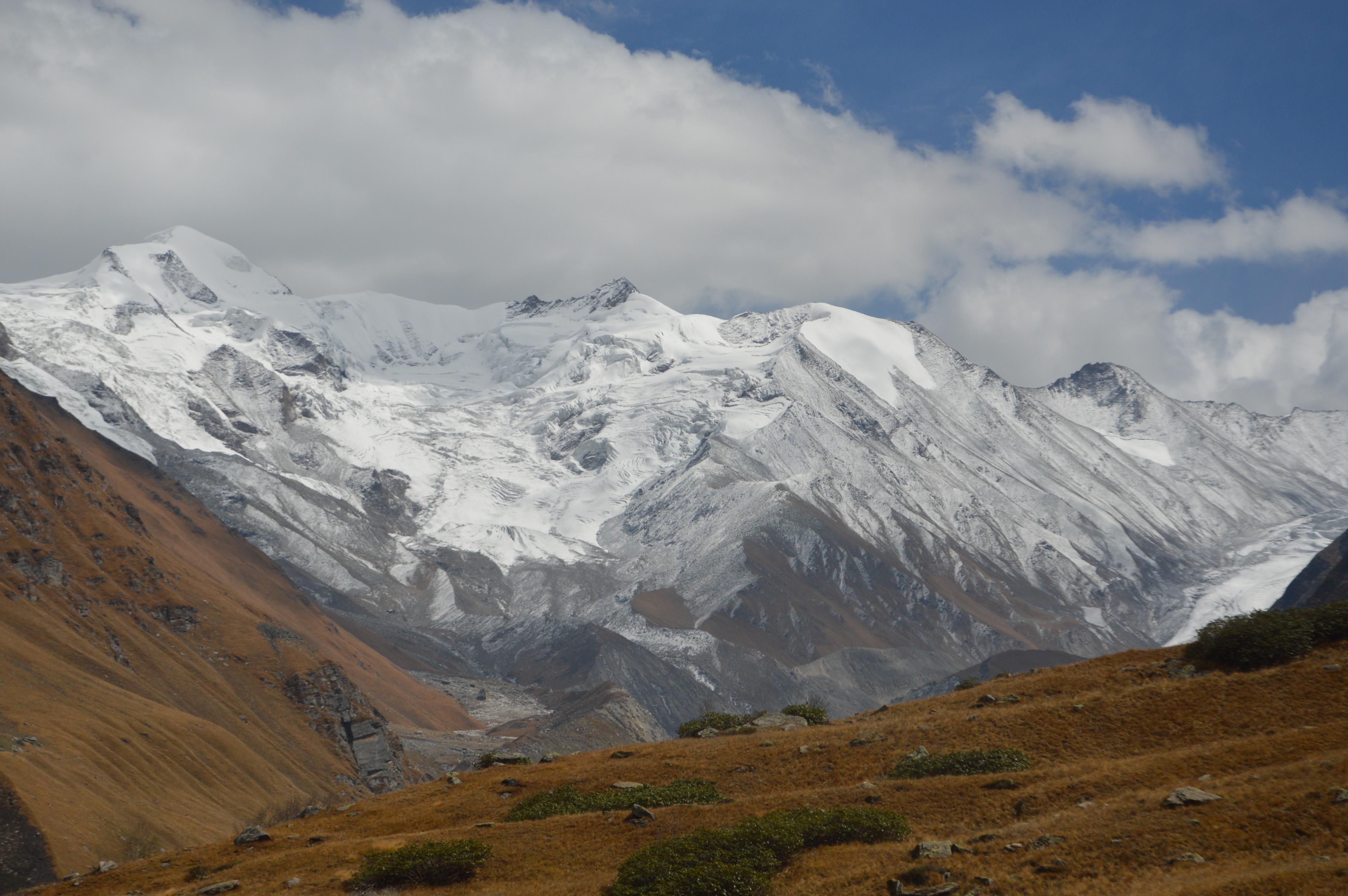
Mayali Pass is a high altitude pass of over 5400m that links the Bhilangana Valley to Kedarnath and the Mandakini Valley. Mayali Pass trekking route is followed by many trekkers every year. In ancient time this trek was being used by adventurous pilgrims while their pilgrimage travel from Gangotri to Kedarnath and that is why it is also known as the “holy trail”. Situated at an altitude of over 5400m above sea level ,Mayali pass trek is another hidden gem of Uttarakhand Himalayas.
More info
The journey of a thousand miles begins with a singe step
55 km
8-12 Oct
moderate
15
5
259.6 km
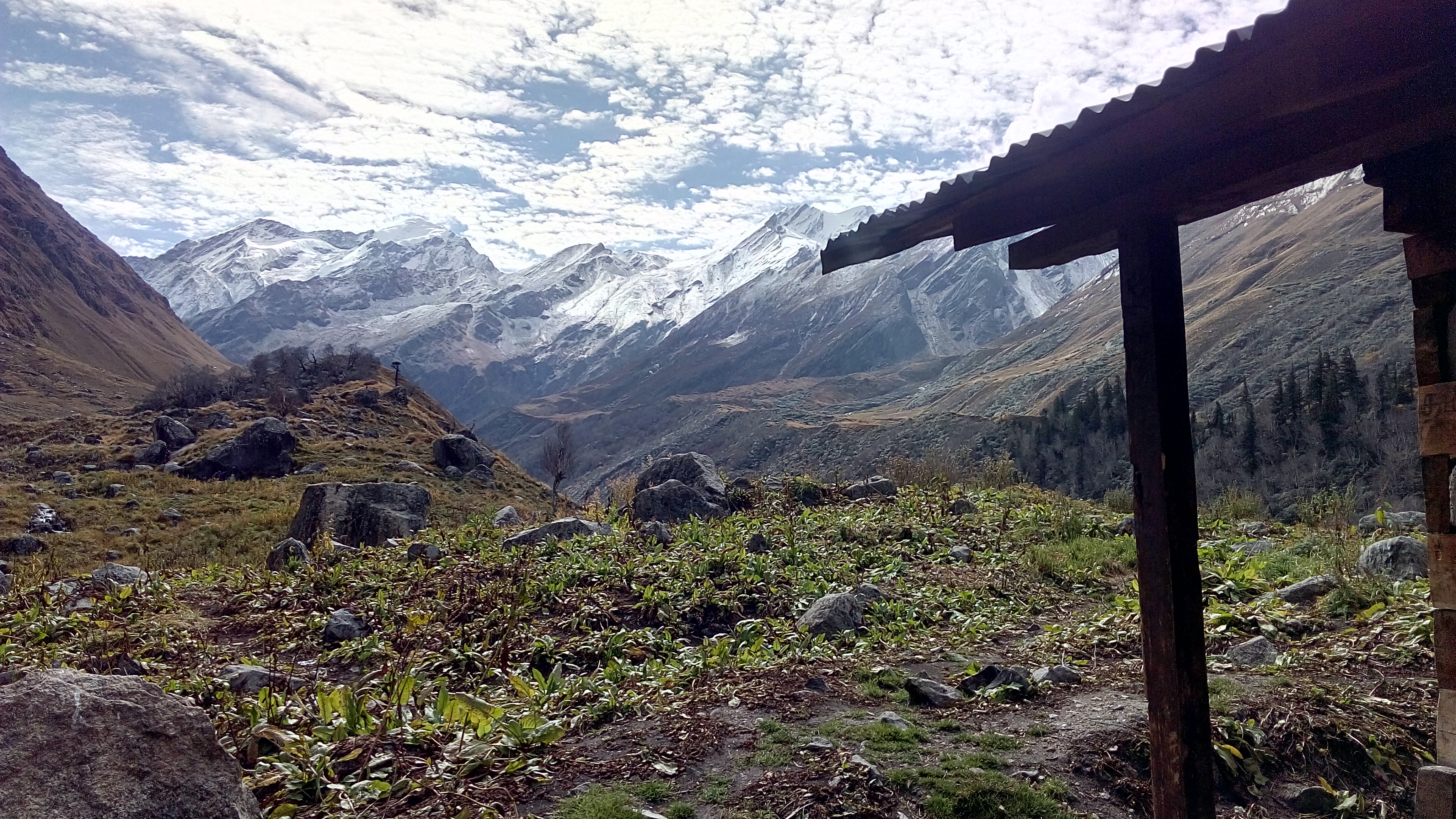
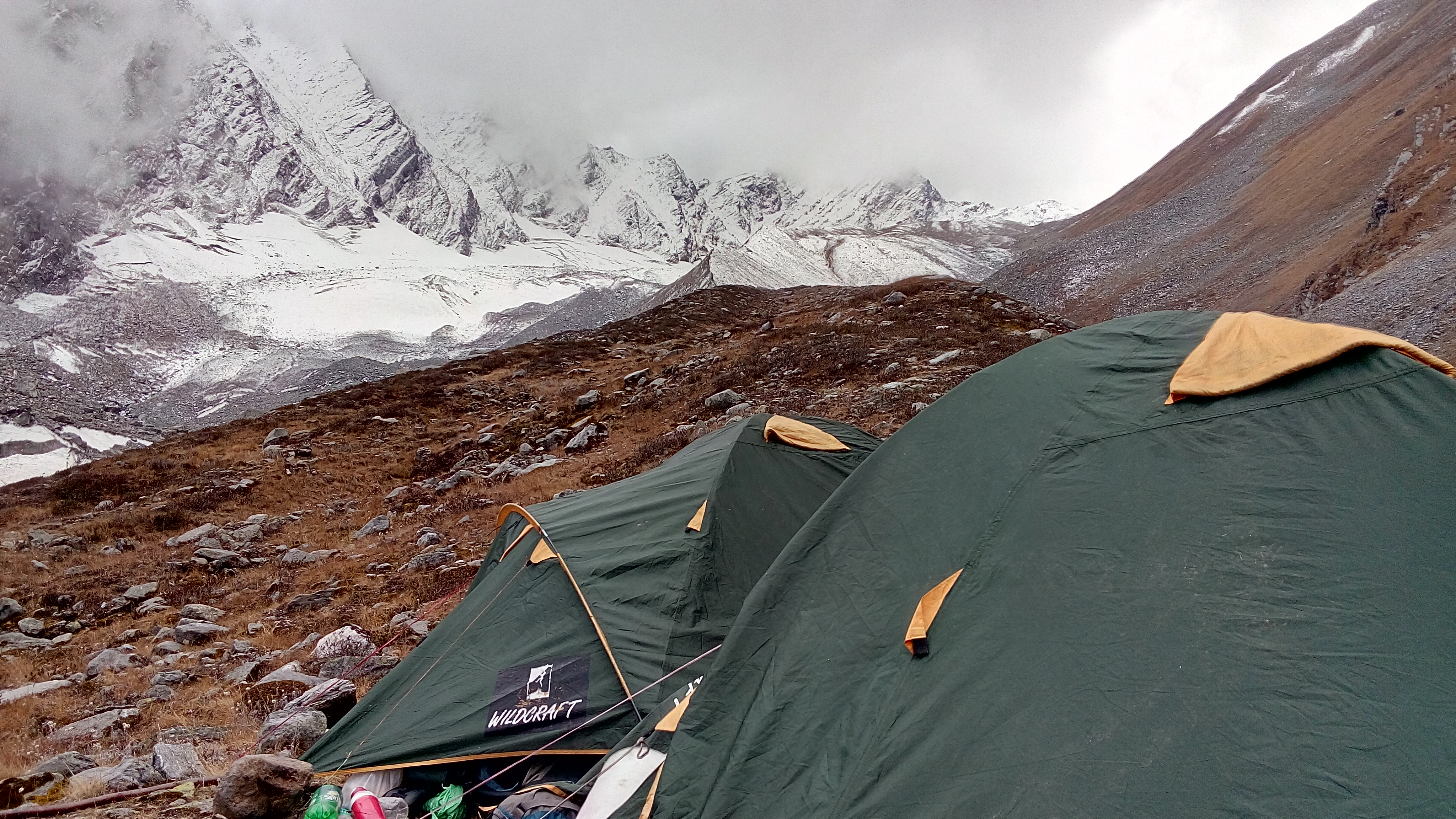
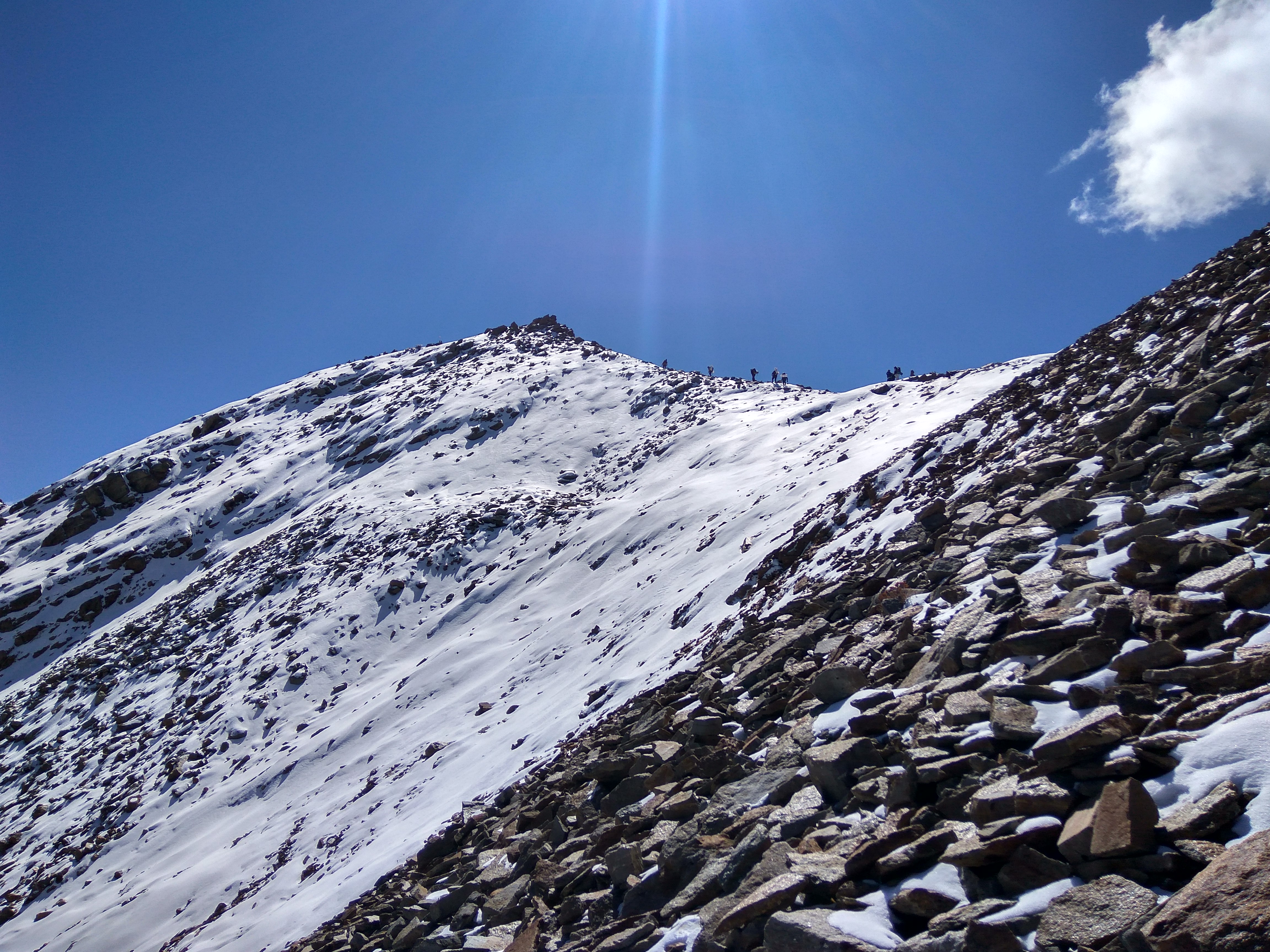
Mayali Pass is a high altitude pass of over 5400m that links the Bhilangana Valley to Kedarnath and the Mandakini Valley. Mayali Pass trekking route is followed by many trekkers every year. In ancient time this trek was being used by adventurous pilgrims while their pilgrimage travel from Gangotri to Kedarnath and that is why it is also known as the “holy trail”. Situated at an altitude of over 5400m above sea level ,Mayali pass trek is another hidden gem of Uttarakhand Himalayas. The trek offers an extraordinary experience of Indian Himalayas, with views of Garhwal Himalayan peaks seen from nowhere else. The majestic appearance of Mount Kedar Dome (6830 m) and Mount Thalay Sagar (6904 m) along the trek is memory to savor. Mayali Pass also connects two high altitude lakes i.e Masar taal and Vasuki taal on the route to kedarnath. The twin holy lakes of Masar Taal and Vasuki Taal will leave you spellbound and peaceful. These lakes are true nature's marvel that leaves you into tranquility.A team of 19 students consisting of 3 Trek leaders left from IIT Roorkee on 19th of September 2018. The trek began on 20th from a small village named ghuttu in tehri district of uttarakhand, we took a safari ride from ghuttu to reeh, the next village enroute. Next day we started the trek early morning with very good weather conditions similar to the forecast reports and covered our trail for the day by evening finishing with a great dinner prepared nicely by the cook accompanying us. Next day due to fault in some of our cooking equipment the trek was put on halt for the day and two of our trek leaders got down to the basecamp for repair purpose. It was a good day and fulfilled the need of acclimatisation at a height of 3000 mtrs. On 22nd, trek begin early in the morning before the sunrise and we covered much of the path to get back to our proposed itinerary, but as the weather became poor by evening, we pitched our tents at an abandoned village and stayed there for the night. Next day as weather conditions got somewhat better we began ascending and crossed two of three wooden bridges that we were gonna encounter during the route according to our guide and finished the part of the trek for that day. That night weather suddenly changed and we faced heavy rainstorms which led us to hold the trek for next two days till the weather conditions Improved, during this time period the conditions got so worse that both ascent and descent were not possible. As the weather conditions Improved we decided to back off as we had already delayed much from our timeline during these two days. But due to heavy rains the bridges that we crossed were destructed and as pointed by our guide that it wasn’t possible to cross the rivers without the bridges as the flow level would have been high due to the rainfall that took place during the past two days, so we decided to ascend to Khatling Glacier that day and got back to our camps by night covering a total of almost 40 kms with an ascent and descent of 1500 meters in a single day, next morning we started packing of our tents and moved back 45 kms to the base camp and stayed there overnight. According to our guide, the complete trek totalled to almost 130 kms back and forth reaching a maximum altitude of almost 4500 mtrs. We started our journey back to Roorkee next morning and reached there by evening. As this trek was totally in uncivilized zone and consisted much of long forest trails, we encountered a lot of wild animals like leopards, bears and snakes during the trek. A total of almost 40 waterfalls were present during the trek, which made the trek a lot more beautiful than we had imagined. Overall the experience and feedback from the team were great.